Physical Address
1 Riverwood Drive
Moncks Corner, SC 29461
Physical Address
1 Riverwood Drive
Moncks Corner, SC 29461
As the nation prepares to mark 250 years of American independence, it is a great time to remember the important role South Carolina played. The Lowcountry was one of the most active and strategically important regions of the American Revolutionary War. Here, in the swamps, pine forests, plantations, and river crossings of Berkeley, Charleston and surrounding counties, a brutal backcountry war unfolded — a struggle not only between British and Patriot forces but among neighbors, families and militias.
Today, the anniversary invites both residents and visitors to rediscover the landscapes where independence was contested one skirmish, one march, and one plantation at a time. The Lowcountry’s preserved sites tell a story not only of battles, but of people whose courage and resilience forged a new nation.
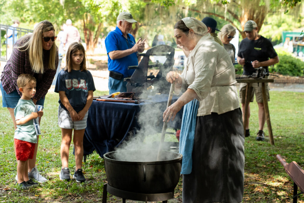
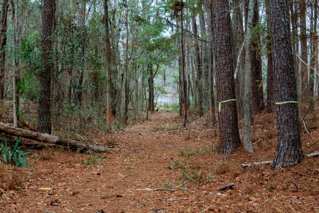
As a crossroads town linking the Santee River, Cooper River, and King’s Highway, Moncks Corner became a strategic waypoint in the Revolutionary War. British forces understood its importance — and so did Francis Marion. The surrounding swamps, pine forests and plantations created the perfect environment for guerilla tactics that frustrated enemy movements.
During this anniversary year, Moncks Corner serves as a gateway to understanding how geography shaped resistance. Many heritage trails and markers now guide visitors through the routes Marion and his militia once used to strike swiftly and disappear.
The Biggin Church Ruins stand as one of the Lowcountry’s most haunting Revolutionary-era landmarks. The red‑brick shell, partially consumed by fire, marks a site used by both Patriot and British forces.
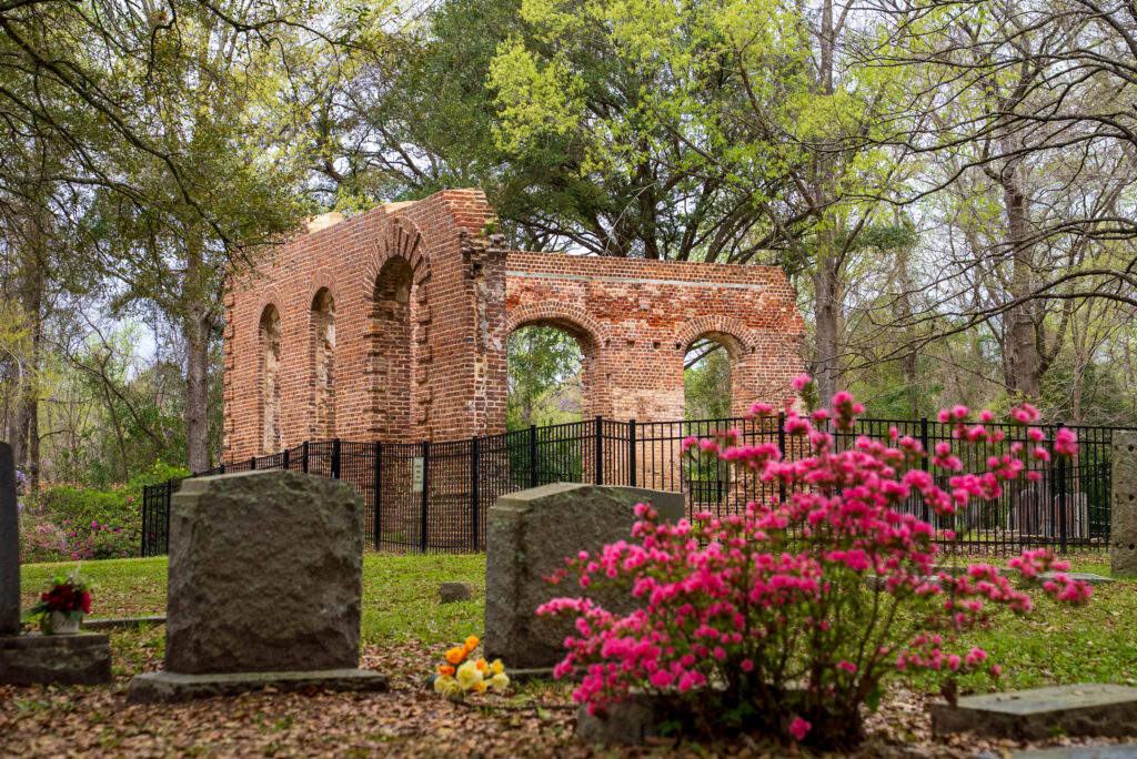
In the 1780s, the church was reportedly used to store supplies — making it a target. Whether destroyed by accident or conflict, its ruins remind visitors of a time when even sacred spaces were pulled into the war’s turmoil. As the nation turns 250, Biggin Church continues to symbolize the endurance of South Carolina’s early communities.
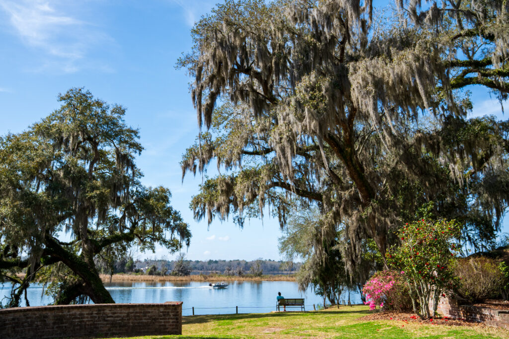
On the bluff above the Cooper River stands Mepkin Abbey, a modern Trappist monastery occupying land steeped in Revolutionary history. Before it was a monastery, Mepkin was home to the Laurens family — Henry Laurens, President of the Continental Congress, and his son Colonel John Laurens, a noted Revolutionary officer.
This site connects the Revolution’s political leadership with its military struggle. On the 250th anniversary, visitors can explore the serene grounds where national leaders once walked, bridging the past with the abbey’s present mission of contemplation and peace.
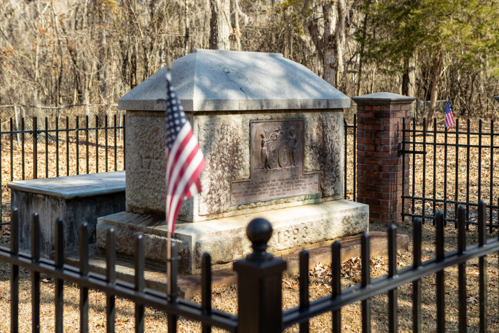
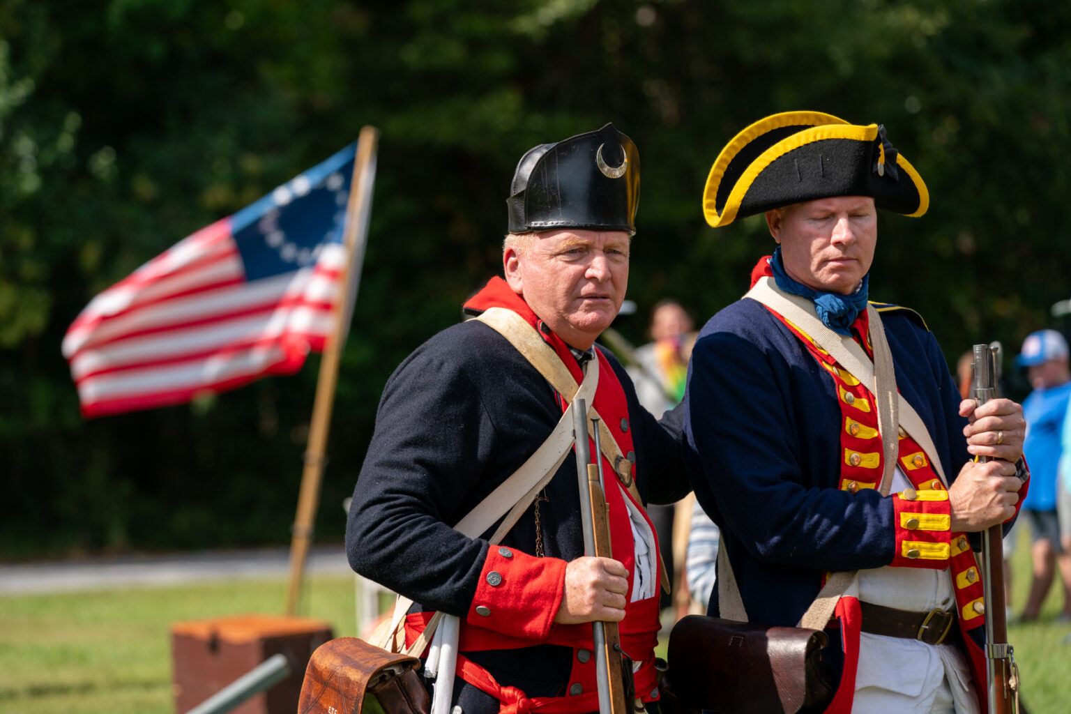
No figure is more synonymous with the Lowcountry’s Revolutionary identity than General Francis Marion. Operating from the Santee and Pee Dee swamps, Marion developed the guerrilla tactics that earned him the nickname the Swamp Fox. His small, agile militia used the terrain to their advantage — striking British outposts, severing supply lines and disappearing into wetlands before the enemy could respond.
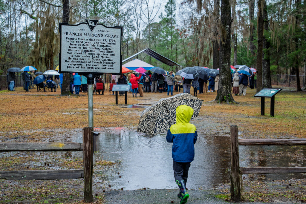
Marion’s campaigns connected many of the historic sites featured in this anniversary exploration. From the forests near Moncks Corner to the grounds around St. James Santee and the battlefields near Eutaw Springs, his presence shaped the region’s wartime experience.
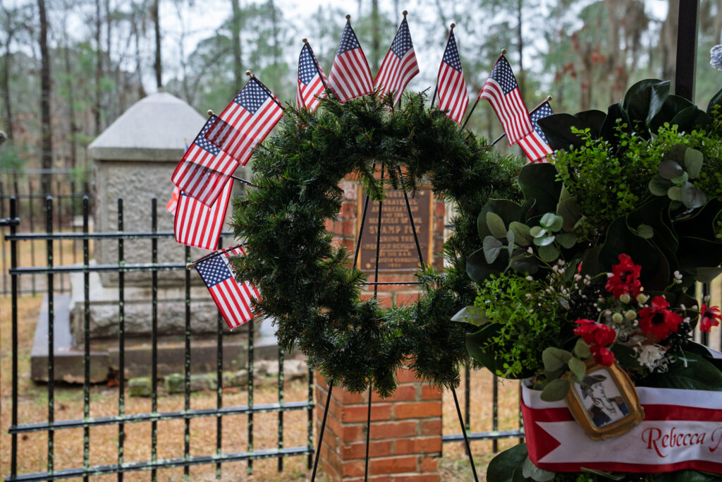
His leadership remains one of South Carolina’s defining contributions to American independence, and during the 250th commemoration, Marion’s story is central to understanding how the Southern Campaign was ultimately won.
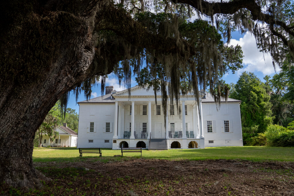
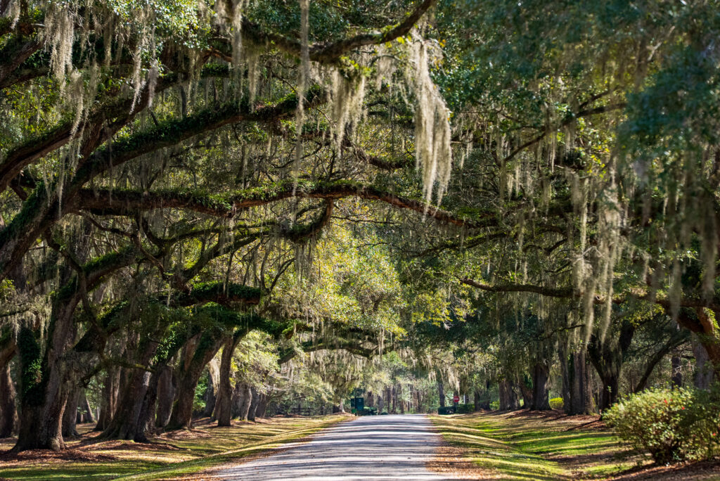
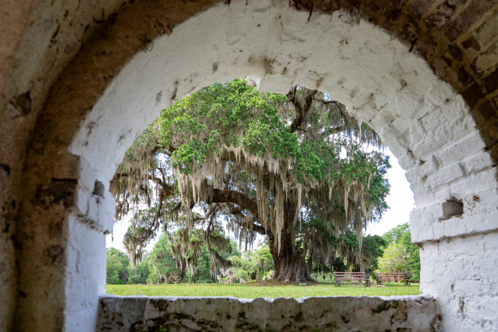
The sweeping avenue of oaks leading to Hampton Plantation sets the tone for a site that has weathered nearly three centuries of history. The plantation was home to the Horry and Pinckney families, both deeply intertwined with the Revolution. Harriott Pinckney Horry’s personal writings describe shortages, fear and the tension of a region in constant conflict.
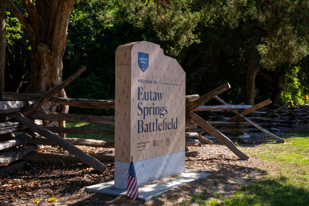
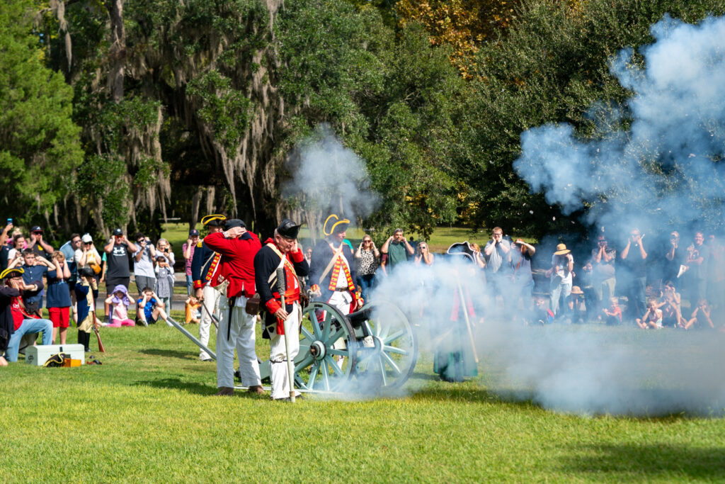
On September 8, 1781, the Battle of Eutaw Springs became the last major engagement of the war in the Carolinas. It was brutal and indecisive — but strategically devastating for the British. Their forces were driven back toward Charleston, never to regain inland control.
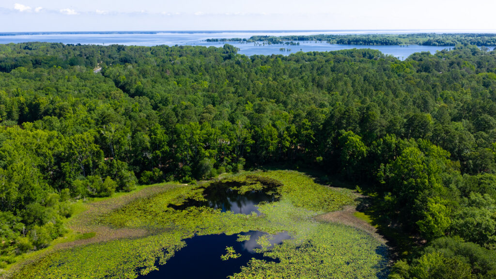
As part of the 250th commemoration, ongoing preservation efforts highlight the importance of this battlefield. Though portions now lie beneath Lake Marion, the remaining grounds allow visitors to walk the ridges and springs where the future of the South once hung in the balance.
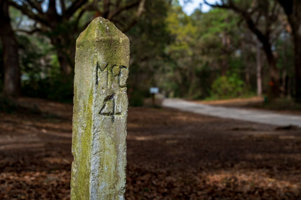
No single road shaped the Revolutionary movement in the Lowcountry quite like the King’s Highway, a sandy, tree‑shaded corridor that carried everything from plantation wagons to Continental scouts.
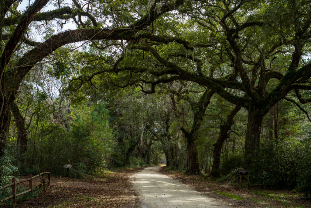
During the war, Patriot militias used it to intercept British dispatches, move troops and coordinate resistance across vast rural areas. On the 250th anniversary, surviving segments of the road remind us that independence was not only won in battles, but along the routes that connected communities and coordinated strategy.
Long before the Revolution, the Lowcountry’s Indigenous peoples shaped the land through their agricultural societies and ceremonial traditions including Santee Indian Mound at Santee National Wildlife Refuge. Built by the Santee people between 1200 and 1500 AD, this 30-foot earthen hill was later used by the British as a military outpost (Fort Watson) along the banks of the Santee River during the Revolutionary War.
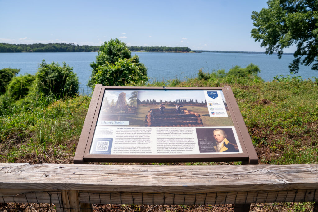
In April 1781, General Francis Marion and Lt. Colonel Henry “Light Horse Harry” Lee attacked the elevated fort after a failed attempt in February of that year. The course of the battle turned after the Patriots built a tower that could be used to fire into the stockade, neutralizing the British troop’s advantage of elevation. Once Marion had overtaken Fort Watson, he demolished the works to ensure the British would not return to occupy it.
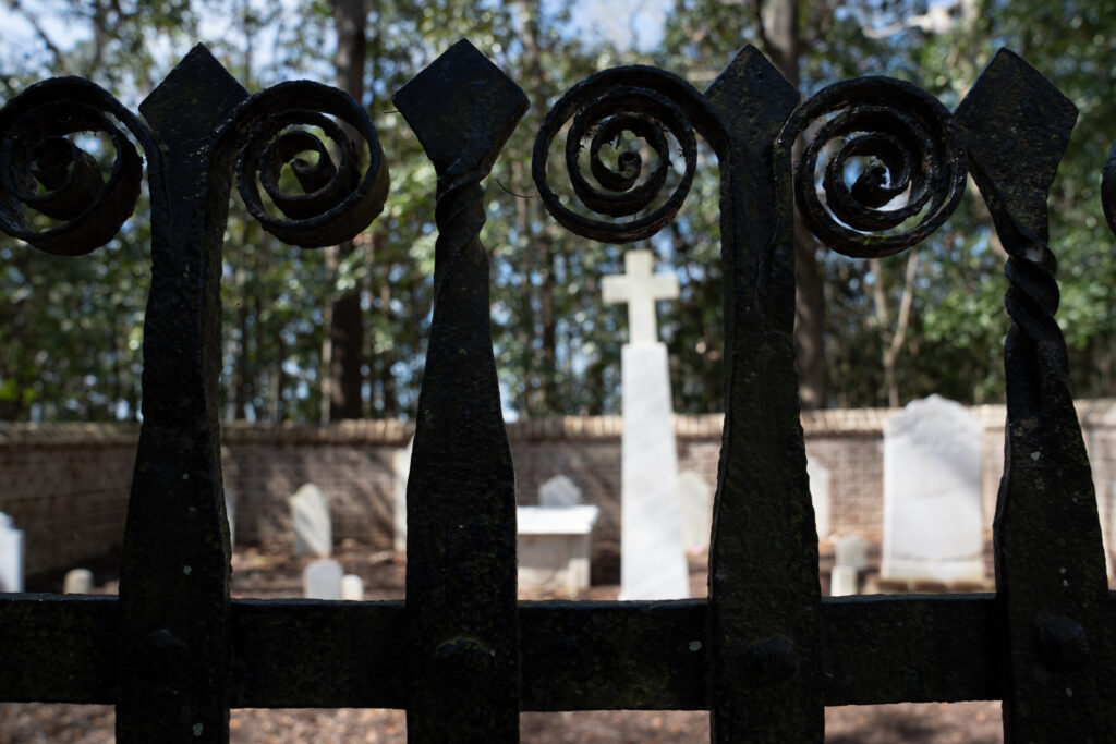
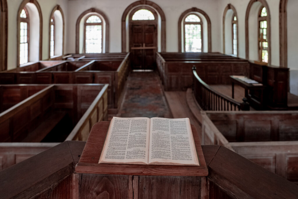
Often called the Brick Church at Wambaw, St. James Santee is one of the Lowcountry’s most historically intact colonial churches. Built in 1768, it stood at the heart of a parish that witnessed critical skirmishes, including clashes between Marion’s men and Loyalist cavalry.
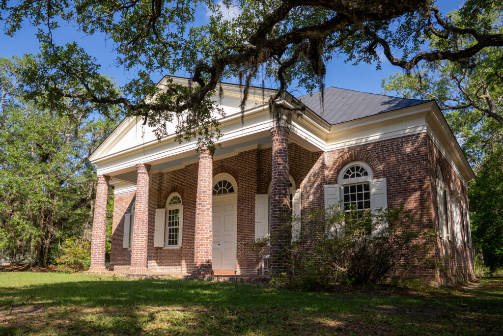
The church’s serene interior and remote pine‑forest setting contrast sharply with the violence that once threatened the parish. As the nation reflects on 250 years of independence, St. James Santee offers a quiet sanctuary of memory.
SC250: Preserving South Carolina’s Revolutionary Story
To help celebrate the anniversary of our nation, the South Carolina American Revolution Sestercentennial Commission (SC250) was created to lead the statewide effort to commemorate the 250th anniversary of the United States. Through grants, events, educational programs and preservation initiatives, SC250 highlights lesser‑known stories, supports battlefield restoration and promotes heritage tourism. The website is a great source of information while exploring the many events that unfolded in the Lowcountry during the fight for our independence.
Learn more at: sc250.gov
The Liberty Trail: Walking the Path of Independence
Want to walk the same path of those mentioned in this article? The Liberty Trail is great tool to find the key battlefields and historic revolutionary spots in the Lowcountry. Developed by the American Battlefield Trust and South Carolina partners, The Liberty Trail links many of the Lowcountry’s most important Revolutionary War sites — including Eutaw Springs and key Marion campaign landmarks.
The website and smartphone app combine digital tours, on-site experiences and land preservation to help you follow in the footsteps of everyday heroes who determined the fate of American independence on the battlefield and beyond
Together, these efforts allow visitors to follow the Southern Campaign in real time, experiencing the story of independence across forests, plantations and rural roads still shaped by Revolutionary events.
More information: thelibertytrail.org.